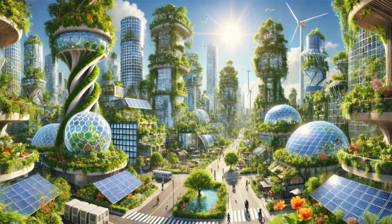
Floodlands—particularly side channels of rivers—are vital ecosystems that play a crucial role in mitigating climate change impacts, preserving biodiversity, and enhancing community resilience. In the context of Solarpunk ideals, which emphasize sustainable living and harmony with nature, floodlands exemplify how natural systems can be integrated into human settlements to create regenerative and adaptive environments.
Side channels and interwoven braided channel systems are natural offshoots of a river’s main channel. They contribute to the dynamic nature of riverine systems, providing habitats for diverse flora and fauna, facilitating sediment transport, and acting as natural flood buffers. Historically, these meandering channels have been integral to the health of river ecosystems, supporting fisheries, agriculture, and human settlements.
However, over the past two centuries, many rivers have been straightened and confined within concrete embankments to facilitate navigation, urban development, and flood control. This engineering approach, while beneficial for certain human activities, has led to the disconnection of side channels, loss of wetlands, reduced biodiversity, and increased flood risks downstream.
Tamed and Torn: The History of River Modifications
The Rhine:
The Upper Rhine was straightened between 1817 and 1876, reducing its length by 81 kilometers.[1] This intervention aimed to improve navigation and reduce flooding but inadvertently led to the loss of approximately 123 km² of floodplains, increased flow velocity, and shifted flooding events to the Middle and Lower Rhine areas.[2]

The Danube:
Similarly, the Danube River underwent extensive regulation, including the construction of the Gabčíkovo Waterworks in Slovakia, which diverted water from the river’s natural branches. These alterations disrupted the natural hydrology, leading to the drying of wetlands and the decline of native species.[3]
The Gabčíkovo–Nagymaros Dams were originally planned as a large joint project between Czechoslovakia and Hungary. However, growing environmental concerns in Hungary during the 1980s sparked widespread protests and criticism from scientists. They warned the project would disrupt the Danube’s natural flow, destroy wetlands, and threaten biodiversity. In 1989, Hungary suspended construction of the Nagymaros dam and later abandoned its part of the project, citing serious ecological risks and threats to Budapest’s water supply.[4]
The Missouri:
The United States’ longest river, the Missouri River—once a dynamic, meandering waterway—has been dramatically altered through channelization and dam construction since the end of the 19th century.
The removal of snags and the degradation of habitat have led to an estimated loss of more than 80% of fish in the Missouri River. While some species have increased due to habitat changes and clearer water caused by sediment trapping in reservoirs, others have declined severely. In Missouri, two large river species (pallid sturgeon and the flathead chub) are in serious decline. In Nebraska, seven species have experienced significant declines. If these trends continue, some species may disappear entirely from the Missouri River system—reflecting serious ecological damage.
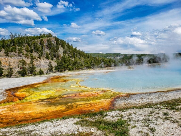
On floodplain land between Sioux City and St. Louis, cultivated land increased by 4,300% between 1892 and 1982. At the same time, tree cover declined by 41%, wetlands by 40%, sandbars by 97%, and grasslands by 12%. Today, 67% of the Missouri River is altered—either channelized for navigation (650 miles) or impounded by dams (903 miles). Most of the remaining natural flow occurs near the headwaters in Montana (see picture below). Channelization has made the lower river approximately 50% narrower, primarily due to the loss of biologically rich off-channel backwaters and marshes.[5][6]

The Yellow River:
In Asia, China’s Yellow River—once a naturally braided and shifting watercourse—was heavily engineered in the 20th century with levees and dams to control flooding and sediment. While these measures protected farmland, they also degraded ecosystems and contributed to major disasters, including the catastrophic 1938 levee breach that displaced millions.[7]
Revitalization Efforts: Reconnecting Side Channels
Recognizing the ecological and social costs of river regulation, numerous restoration projects have been initiated to reconnect side channels and restore floodplains.
Danube River: LIFE Danube Floodplains Project[8]
In Slovakia, the LIFE Danube Floodplains project focuses on restoring the hydrological regime of the Danube’s inland delta. Key interventions include the rehabilitation of the Vojčianske side arm, which had been cut off due to the construction of the Gabčíkovo Waterworks. By reintroducing water flow into these side channels, the project aims to revitalize wetlands, enhance biodiversity, and improve flood protection.

Rhine River: Integrated Rhine Program (IRP)
In Germany, the Integrated Rhine Program aims to restore the flood retention capacity of the Upper Rhine by reconnecting former floodplains and side channels. Measures include the construction of polders and the relocation of levees to allow controlled flooding during high-water events. These interventions not only mitigate flood risks but also create habitats for wildlife and recreational spaces for communities.[9]
Netherlands: The “Room for the River” program is a comprehensive Dutch initiative aimed at enhancing flood protection while improving the ecological quality of riverine landscapes. Implemented across the Rhine, Meuse, Waal, and IJssel rivers, the program includes over 30 projects that involve measures such as relocating dikes, lowering floodplains, and creating side channels. These interventions have successfully reduced flood risks and restored natural river dynamics.

United States: Sacramento River Restoration[11]
In California, projects along the Sacramento River have focused on reestablishing floodplains and side channels to support salmon populations and reduce flood risks. Organizations like River Partners are re-engineering historic side channels and floodplain rearing habitats up and down the Sacramento River.
China: Sponge City Initiative[12]
China’s “Sponge City” concept integrates floodplain restoration into urban planning, using green infrastructure to absorb and reuse rainwater, thereby reducing urban flooding and enhancing water quality. Cities like Wuhan, Chongqing, and Xiamen utilize green infrastructure to manage urban water challenges.
Drac River, France: A Model of Large-Scale River Recovery[13]
The Drac River restoration in France’s Champsaur (Alpine) Valley shows that even heavily degraded rivers can recover. Once narrowed and eroded due to gravel extraction and hydroelectric projects, the river was revitalized through the reintroduction of 355,000 m³ of sediments over 4 km. Completed in 2014 with €4 million in funding, the project successfully restored the river’s braided structure and boosted biodiversity—proving that large-scale ecological recovery is achievable with strategic planning and investment.

Embracing Solarpunk Through Floodplain Restoration
Solarpunk envisions a future where technology and nature coexist harmoniously. Restoring river side arms and floodplains embodies this vision by leveraging natural processes for climate adaptation, biodiversity conservation, and community well-being.
These restoration projects demonstrate that ecological integrity and human development are not mutually exclusive. By reimagining our relationship with rivers, we can create landscapes that are resilient, vibrant, and reflective of Solarpunk’s optimistic and sustainable ethos.
The positive news is that there is a way forward: retrospectively—depending, of course, on the specific context and boundary conditions, and guided by the ecological awareness of today and lessons learned—past mistakes, such as the excessive channelization of rivers, can be corrected to a certain extent. Through adaptive management, ecological restoration, inclusive planning, and proper funding, it is possible to reverse environmental degradation and restore rivers to healthier, more dynamic states that support both ecosystems and mankind.
References
[1] https://www.dhm.de/mediathek/en/ida/plittersdorf-en
[2] https://en.wikipedia.org/wiki/Upper_Rhine
[3] https://en.wikipedia.org/wiki/Gab%C4%8D%C3%ADkovo_Dam
[4] https://en.wikipedia.org/wiki/Gab%C4%8D%C3%ADkovo%E2%80%93Nagymaros_Dams
[5] https://oembed-dnr.mo.gov/document-search/missouri-river-pub2018/pub2018#:~:text=Today%2C%2067%25%20of%20the%20Missouri,near%20the%20headwaters%20in%20Montana.
[6] https://en.wikipedia.org/wiki/Missouri_River
[7] https://www.britannica.com/place/Yellow-River/Hydrology
[8] https://broz.sk/en/projekty/dunajskeluhy/
]9] https://rp.baden-wuerttemberg.de/fileadmin/RP-Internet/Freiburg/Oeffentlichkeitsarbeit/_DocumentLibraries/Documents/rpf-ref53.3-kurz-irp-engl.pdf?utm_source=chatgpt.com
[10] https://www.rijkswaterstaat.nl/en/projects/iconic-structures/room-for-the-river/
[11] https://riverpartners.org/news/restoring-salmon-habitat-and-hope-along-the-sacramento-river/
[12] https://solarpunkcities.com/technology/sponge-city-concept-from-ancient-china-to-the-modern-era/
[13] https://www.over-view.fr/2019/05/la-restauration-des-rivieres-cest-possible-meme-quand-leur-degradation-parait-irreversible